x:
y:
In CNN's 24h media coverage of the Gulf War amidst the images of armaments and devastated landscapes one could see the Head-Up Display (HUD) images that U.S. soldiers used during military operations. These are, for example, infrared videos of aerial footage with a crosshair in the centre, showing air-to-ground missile explosions. Harun Farocki showed some of these images at the beginning of his installation Eye/Machine (2000-2003), he calls them “operational images”. One example he presents is a “suicide camera” on a laser-guided bomb, showing the view from the warhead’s perspective as it swoops down on the target from above. The image becomes more detailed as the missile approaches the ground, until the footage stops when it impacts the surface. Farocki calls this type of image a “phantom-subjective image” (2004, p. 13) for it simulates the human point of view from a position that a human being could not occupy. This image captures what the missile saw, while we, as viewers, observe safely from a distance, neither victims nor perpetrators.
Read more
On April 11th, 2025, Lisa Henicz presented her doctoral project "Images of Modern Switzerland. Aerial Photographs of Walter Mittelholzer" at the XXI Colloque Suisse de la Relève en Histoire de l’Art in Neuchâtel. Since 1997, the colloquium has been annually organized to encourage the public presentation and discussion of the progress made by young Swiss researchers in the field of history of art.
Read more
On March 6, 2025, Professor Matteo Vegetti delivered a masterclass titled “L’Air-Age and the Birth of American Geopolitics”, within the framework of the Master’s Program in Geopolitics and Global Security at Sapienza University of Rome.
The lecture explored how the emergence of the Air-Age—a historical and conceptual shift marked by the strategic use of aerial space—contributed to the transformation of geopolitical thinking in the United States. Professor Vegetti offered an in-depth analysis of how air power reshaped territorial imagination and global influence in the 20th century.
The session, in Italian, was recorded and is available for viewing here.
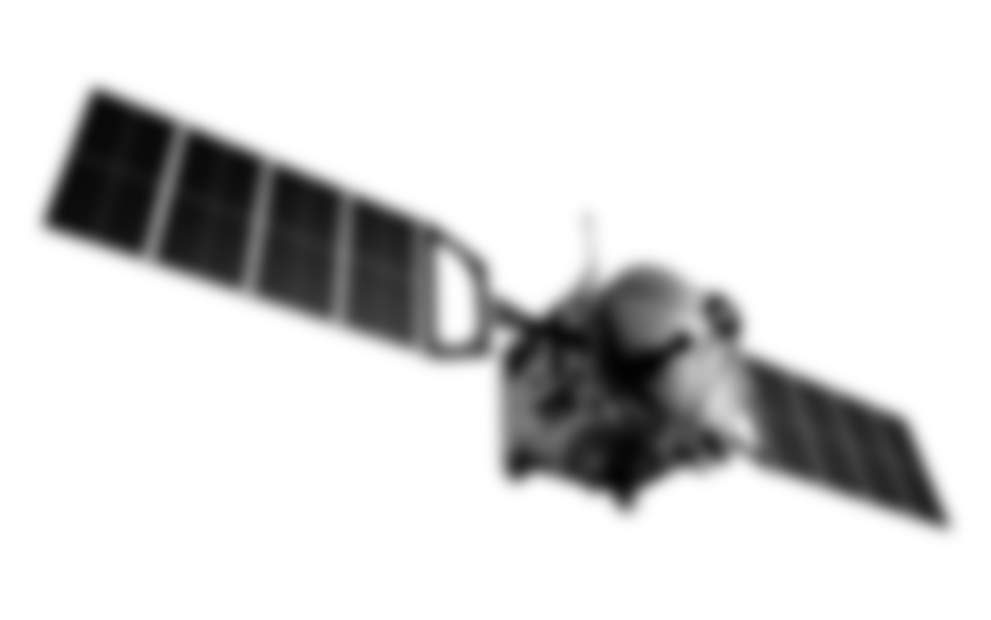
In 1946, the concept of "telearchics," introduced by Burnet Hersey, marked a new era in remote control technology, heralding the potential for dominating space through unmanned aerial vehicles (drones). The pivotal moment for telearchics occurred during Operation Crossroads at Bikini Atoll, where drones were used to capture aerial images of atomic explosions, demonstrating their ability to survive extreme conditions and perform tasks too dangerous for humans. This innovation gave rise to a new form of warfare, where power was exerted remotely through electromagnetic waves, creating a space of dominance that extended beyond traditional geographic boundaries. Telearchics represents a shift in military and technological strategies, where the "remote" control of machines not only alters the perception of space but also introduces a new logistics of warfare and surveillance. This approach, which continues to evolve with modern drone technology, redefines territorial conquest and colonization, emphasizing control from a distance without physical vulnerability. The concept of ether, a universal medium through which power and surveillance spread, further underscores the transformation of warfare into an ionospheric battle of electromagnetic engagement.
In the post-war period, Europe faced significant challenges in urban planning and infrastructure reconstruction, which were documented and critiqued through the emerging medium of state television. Aerial views, often captured via helicopters, became a powerful tool for showcasing urban development, with the technique of "helivision" offering unique perspectives from above. The Italian film series L’Italia vista dal cielo (1966–1978), commissioned by Esso and directed by Folco Quilici, is a prime example of this approach.
In the Historical City and Urban Aesthetics conference, Matteo Vegetti and Katrin Albrecht offer thought-provoking perspectives in Session VII: Techno-aesthetical perspectives on the city, chaired by Claudia Nigrelli.
Matteo Vegetti explores the aesthetic and moral implications of aerial vision in modern urban contexts with his presentation La visione aerea e la città moderna: implicazioni estetiche e morali, delving into how aerial perspectives have shaped the way we perceive and design cities.
Katrin Albrecht, in her presentation Representing the Unknown, examines the challenges and possibilities of visualizing and interpreting urban spaces in a historical context. Together, their contributions will shed light on the interplay between technology, aesthetics, and the urban environment, offering new insights into the evolution of cityscapes.
From 3 to 6 December 2024, the First National Congress of Cultural Astronomy will be held at the CNR Research Area in Palermo. On the 6th, Professor Matteo Vegetti will delve into the political significance of iconic images of Earth from space, such as Earthrise and The Blue Marble . In his presentation, titled The Political Meaning of Viewing Earth from Space: "Earthrise," "The Blue Marble," and the Idea of One World (original in Italian: ll significato politico della visione della terra dallo spazio: "Earthrise", "The Blue Marble" e l’idea dell’unità del mondo (“One World”) ), Vegetti will examine how these images have shaped collective imagination and fostered the concept of a united, interconnected world. Through a philosophical and historical perspective, he will highlight the role of visual representation in building global consciousness, reflecting on the intersection of aesthetics and politics in portraying the planet from above.
Feminist critiques of remote sensing and the "view from above" have evolved significantly, particularly in the past three decades. Initially, the distant perspective of satellite imagery was critiqued for embodying a masculinist and controlling gaze, which was detached, voyeuristic, and managerial. However, feminist critiques have since shifted, recognizing the potential of distance as a productive tool rather than a purely distancing one. By challenging the traditional division between masculine, detached knowledge and feminine, proximate care, feminist approaches have redefined remote sensing as a means to address environmental and humanitarian crises, exploring the intersections of gender, technology, and care. Feminist data visualization, critical mapping practices, and the reappropriation of distance now highlight how technology can be used to challenge power dynamics and rethink relationships to space, care, and access.
The third talk in the Werkstattgespräch series will focus on the power of aerial images. The event, titled "macht der (luft)bilder," will feature film excerpts commented and historically framed by Jacqueline Maurer and Lisa Henicz.
On October 4, 1957, the launch of Sputnik 1 sparked the concept of "astronoetics," introduced by philosopher Hans Blumenberg. He explored the profound impact of space exploration on human perception, focusing on how events like the Space Race reshaped our understanding of the world and introduced new philosophical challenges.
Read moreAfter World War I, advances in photography, aviation, and print media led to a rise in civil aerial photography. Former military pilots like Walter Mittelholzer transitioned to civilian roles, with Mittelholzer founding Ad Astra Aero in 1919, specializing in aerial images for urban planning and commercial use. Aerial photography, offering both innovation and objectivity, became essential for urbanists managing expanding cities. Mittelholzer’s photograph of Zurich’s Hirslanden clinic, published in 1932, emphasized the building’s technological advancements, highlighting the growing importance of aerial photography in promoting architectural innovation and documenting modern projects.
Read moreOn September 30, 2024, the conference At a Distance: Remote, Augmented, Operational Imagery will explore the impact of technologies that enable remote and augmented viewing on our perception and interaction with the world. Members of the Aerial Spatial Revolution project will present key contributions: Matteo Vegetti (USI, SUPSI) will discuss "Spatial revolution and space-time compression," Katrin Albrecht (OST) will explore "Precise recording from a safe distance," and Emmanuel Alloa (University of Fribourg) will address "Astronoetics: Philosophy from outer space." Additionally, Tommaso Morawski (Sapienza) will examine the evolution of scale in "Medializing the Cosmic Zoom: 1957-2005."
Read more
On September 10, 2024, the Aerial Spatial Revolution (ASR) panel will be part of the 12th Congress of the German Society of Aesthetics in Fribourg. Chaired by Lilian Kroth and Emmanuel Alloa, the panel will feature presentations by Matteo Vegetti on the concept of an "aerial spatial revolution," Katrin Albrecht on the use of street and aerial views in early 20th-century urban design, Tommaso Morawski on the astronautical revolution's impact on landscape, and Kathrin Maurer on drone sensoriums and their effects on communities.

Today, it has become commonplace for us, almost a matter of course, to see the Earth represented in a photograph. It is therefore hard to imagine how shocking it was, on a psychological and perceptual level, when, in the 1960s, for the first time in the history of our species, humans saw a representation of their planet from space (Morawski, Vegetti). Having now become accustomed to the ubiquity of the extraterrestrial gaze, we take its recent novelty for granted and fail to appreciate the revolutionary impact of that first “ecumenical disorientation” (Boatto 2013, p. 25). An event that literally pulled the earth out from under our feet and returned it to us as an image.
Read moreOn 3 and 4 May, the Aerial Spatial Revolution team met in Mendrisio (Switzerland) for the formal launch of the project. During the meeting, the heads of the three research areas—Aerovision, Aeroplanning, and Aeropolitics—outlined the objectives of each domain and the overall mission planning. Each researcher then presented their "flight plan," highlighting the methodological approaches they intend to pursue to contribute to this interdisciplinary study.
Seminar Architektur im Spiegel der Sinne: Rezeptionsästhetische Ansätze
Prof. Dr. Katrin Albrecht (Ostschweizer Fachhochschule St. Gallen)
Prof. Dr. Hendrik Ziegler (Philipps-Universität Marburg)
Ever since the beginnings of our discipline, architecture has been discussed in terms of the possibilities for experience, whether in terms of architectural form (Wölfflin) or architectural space (Schmarsow) – a perspective that has been given new impetus by Gaston Bachelard's Poetics of Space and, more recently, by Gernot Böhme's Aesthetics of Atmospheres. Corresponding explanations have highlighted the multisensory character of architectural reception and assigned a special role to the body in the process. In this session, the question of the validity of this model will be posed, both with regard to early modern and more recent building traditions.
Organisation of the Institute Colloquium FS 2024:
Prof. Dr. Carola Jäggi, Prof. Dr. Joris van Gastel, Dr. Katja Schröck
Read more
AeroVision: PhD student in philosophy (100%)
Call Closed
AeroPlanning: PhD student in the History of Architecture and Urbanism (100%)
Call Closed
AeroPlanning: Postdoc or Scientific Collaborator (100%)
Call Closed
AeroPolitics: PhD student in philosophy (100%)
Call Closed
Through interdisciplinary approach, the symposium explores the influence of the conquest of the air – from the first flight experiences to contemporary satellites – on the way of thinking, designing and practising space. The general framework is based on the concept of “Raumrevolution” (Spatial Revolution) introduced by the jurist and philosopher Carl Schmitt in Land and Sea (1941), but then implicitly present also in other authors (e.g. Wölfflin, Panofsky, Giedion, Koyré, and Kern).
A spatial revolution is a historical change that transforms the relationship between man and space at all levels. It involves the living environments in which subjects act, communicate and represent their world. The most profound spatial revolutions are those caused by the irruption of a new element (in our case: airspace and extraterrestrial space). In these cases, all spatial relations are modified, and thus inaugurate a general change that affects both the uses of space and its understanding. Is it therefore possible to talk about an aerial spatial revolution in architecture and urbanism and trace a history that shows the lines of development, the disconnections and the repercussions in political and social terms? How did the conquest of the third dimension produce new spatial experiences, aesthetic languages, and spatial intelligence in architecture and urbanism?
Ultimately the symposium analyses the relationship between aerial technologies for representing space and how space has been – and still is – conceived and designed.
Organized by Matteo Vegetti (USI-SUPSI) and Christoph Frank (USI)
Coordinated by Fabrizia Bandi (USI, UNIMI)
Moderated by Tommaso Morawski, Bauhaus-Universität Weimar
Supported by Swiss National Science Foundation (SNSF)